Activities guide
Southern Gold Coast Coastal Walks: Burleigh Headland or Coolangatta Bays?
By the ParadiseGrove editorial team · Last checked 10 October 2026 · Last updated 17 October 2026
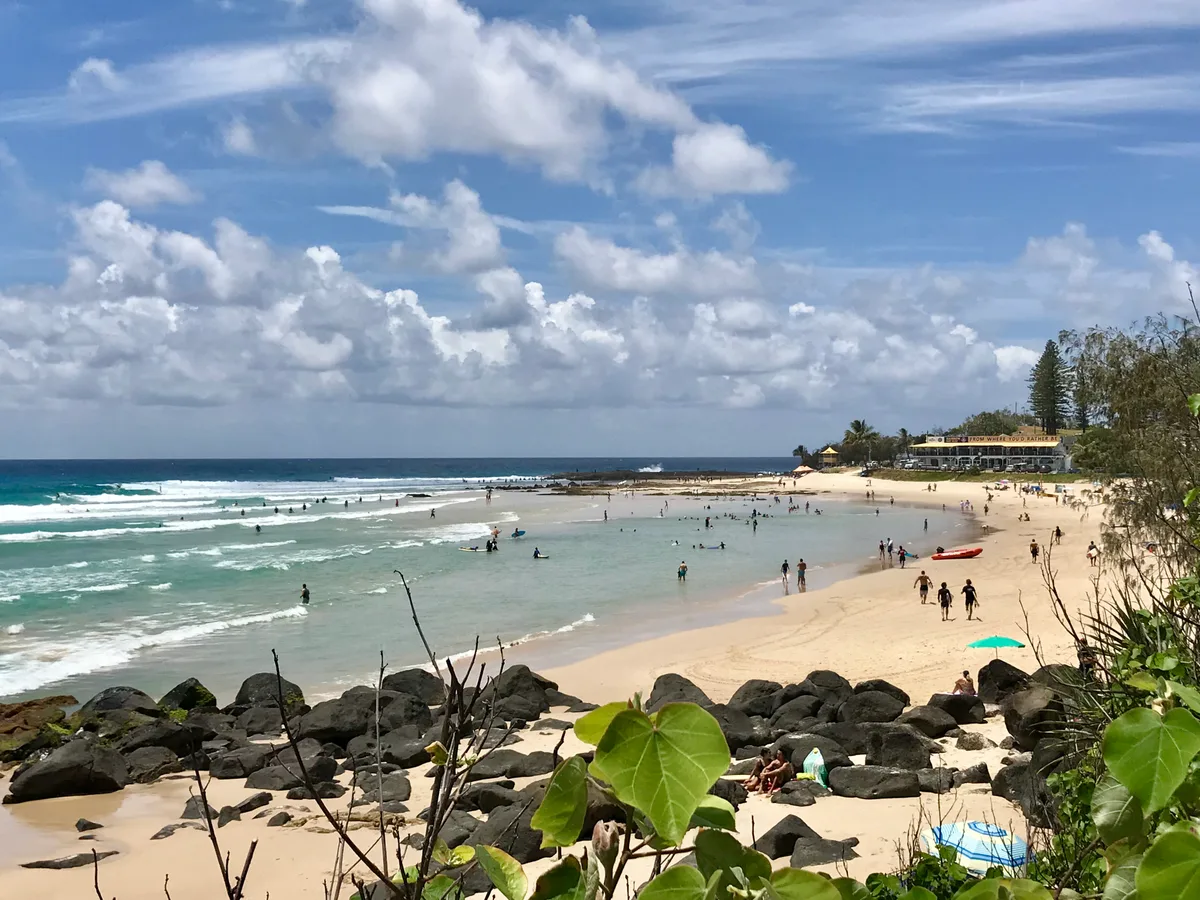
For a first walking morning from Burleigh, we would take Oceanview around the headland: coastal forest, basalt rocks and Tallebudgera Creek fit into a compact outing. The Rainforest circuit earns its climb with the higher view from Tumgun. If you want a different day, Coolangatta’s path around Greenmount to Rainbow Bay brings successive beaches and surf watching, with a picnic at the far end. The useful choice is between forest and creek, a lookout climb, or a leisurely bay-to-bay stroll.
Three walks, three different mornings
Burleigh’s two park tracks are close to town; Coolangatta needs a separate journey south. That matters more than trying to rank the views. With only a morning free, stay in Burleigh. With time for travel and lunch, give the bays their own outing.
| Walk | Distance and time | Terrain / access | What makes it worthwhile |
|---|---|---|---|
| Oceanview, Burleigh Head National Park | Official: 1.2km / about 30min one way. Same-path return: 2.4km; our outing allowance is 60–90min with stops. | Grade 2; wheelchair access with assistance, according to Queensland Parks. Rockfall closures can interrupt the route. | Coastal forest and basalt shoreline, then the creek at Echo Beach. |
| Rainforest circuit, Burleigh Head National Park | Official: 2.3km return / about 45min walking. Add time at Tumgun. | Grade 3; steps and a steep section near the lookout. Not wheelchair accessible. | Forest and an elevated coastal view without a trip away from Burleigh. |
| Coolangatta via Greenmount to Rainbow Bay | Flexible out-and-back; length depends on your starting and turning points. Our suggestion: 1–2h with viewing stops, before lunch. | Public coastal path around the headland; no complete step-free access audit. Point Danger adds an uphill leg. | A change from Burleigh’s forest: open bays, surf watching and picnic parklands. |
Park figures come from Queensland Parks. Our longer allowances are suggestions, exclude the walk from your accommodation and include pauses. The Coolangatta allowance excludes transport, lunch and Point Danger; it is not an official timed trail.
Oceanview: let the creek be the destination
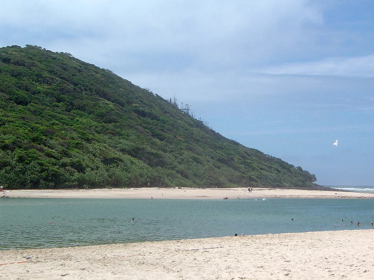
The appeal of Oceanview is the change of setting in a short walk. Start at Goodwin Terrace on Burleigh’s side, follow the formed path around the headland and make Echo Beach your pause before returning. The wooded slope, six-sided basalt and creek give you more to look at than another stretch of open beach. The park’s habitats include rainforest, eucalypt forest and pandanus groves.
For a straightforward morning, retrace your route and have lunch back in town. Walking the full track between the park entrances makes the official 1.2km one-way distance a 2.4km return, before any hotel approach; turning at Echo Beach makes a shorter outing. Echo Beach is beside the track on the Burleigh bank; it is not the Palm Beach picnic area across the water. Our Tallebudgera guide helps if the picnic, rather than the walk, is your main plan.
Keep the basalt viewing to the formed path: the boulder fields and Cannon Rock are restricted. The official safety advice explains why the coastal section can close around severe weather. Wheelchair access is described as assisted; that does not establish independent access to every beach or viewpoint.
Rainforest and Tumgun: spend your energy on the view
The Rainforest circuit is our choice for walkers who want the morning to feel more active. Its steps and steeper climb near Tumgun are the meaningful difference from Oceanview. Give the lookout a little time rather than treating it as a checkpoint; winter and spring can bring migrating humpbacks offshore, although seeing one is never assured.
The 2.3km figure covers the complete return circuit. If you combine it with Oceanview, the distance depends on the junctions you use; the park and restricted-area maps help you trace that route. Our Burleigh national-park guide explains the entrances, track choice and when a Jellurgal cultural walk adds a different purpose to the visit.
For a group divided between climbing and an easier morning, make Oceanview the shared outing and save Tumgun for another day.
Coolangatta to Rainbow Bay: a walk with a picnic finish
Start on Marine Parade beside central Coolangatta and follow the public coastal pathway around Greenmount towards Rainbow Bay. Rounding the headland brings a new bay into view; leave room to stop and watch the surf instead of keeping a brisk circuit pace. Stay on the public path around rocks, then return the same way when you have had enough.
Rainbow Bay’s parklands have picnic tables, barbecues, toilets, showers and a playground. A packed lunch makes a natural finish, especially with children who would rather play than sit through a restaurant meal. Snapper Rocks gives surf watchers another reason to linger; use public viewing areas and keep clear of wave-washed rocks.
This is the more sociable, open-beach outing of the three. It also lets you shorten the day: start nearer Greenmount, turn at Rainbow Bay, or stay around central Coolangatta. The City’s Oceanway information describes the shared walking and cycling network and links construction updates. We have not verified the whole approach as step-free; ask about the specific section and access point you need.
If a higher outlook is the aim, our Point Danger guide covers the optional climb beyond the bay. Save energy for getting back: a ramp at the lookout does not make the approach from Rainbow Bay level. The Coolangatta day guide has the fuller walk-and-lunch plan.
Make the return as simple as the walk
From central Burleigh accommodation, walking to the park entrance can be simpler than finding a parking space. A same-path return brings you back to your starting point; finishing at the creek means organising that last leg home. On a guided visit, build the day around the cultural centre’s meeting point rather than assuming the tour begins at Goodwin Terrace.
For Coolangatta, route 700 serves the southern coast. Its September 2026 change shortened the northern end to Stockland Burleigh Heads; old through-service descriptions from Broadbeach South are out of date. Enter your accommodation and destination in the Translink journey planner, including the return and walks to stops. Our car-free guide puts those coastal connections together.
Walk the national park in daylight, carry water and use sun protection and shoes with grip. Pets and bicycles, including e-bikes and scooters, stay outside the park. On shared beachfront paths, keep left and step aside when stopping. During severe weather or a closure, leave the headland for another day; the indoor-outing guide gives a different plan.
For an unhurried holiday, put Burleigh and Coolangatta on different mornings. You get the forest and creek on one, the bays and a picnic on the other, with time to enjoy the stops that made you choose them.
For a different forest morning, our Currumbin Valley day trip centres on the Cougal Cascades walk and a picnic. It assumes a car for the inland journey; give it a separate day rather than treating it as a walking extension of the coast.
Sources and planning links
- Queensland Parks: tracks, grades and facilities
- Queensland Parks: safety and access
- Park maps and restricted areas
- Park habitats and visitor rules
- Greenmount path and Coolangatta context
- Rainbow Bay facilities
- City of Gold Coast Oceanway and construction updates
- Route 700 timetable
- September 2026 transport changes
- Translink journey planner